

Service Area
Service Area · Algoma District, Northern Ontario
Our Region.
The CDC serves Sault Ste. Marie — from Prince Township in the west to Laird Township in the east, and north to Montreal River Harbour on Lake Superior.
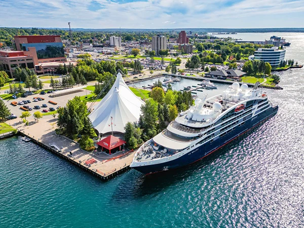
Service Area
North
To Montreal River Harbour
East
To Laird Township
West
To Prince Township
14+
Communities served
Service Area
Service Area
Serving communities across the Algoma District.
If you live, work, or run a business anywhere within the CDC's jurisdiction, our programs and services are available to you — at no cost. Explore the map below to see the communities we serve.
City / Municipality Townships First Nations Northern Communities
Click any marker to learn more. Scroll to zoom, drag to pan. Map data © OpenStreetMap contributors.
Communities We Serve
The full service area.
City / Municipality
- City of Sault Ste. Marie
Townships
- West — Prince Township
- East — Echo Bay & Township of MacDonald, Meredith and Aberdeen Additional
- East — Laird Township
First Nations
- Garden River First Nation
- Batchewana First Nation
Areas North of Sault Ste. Marie
- Heyden
- Kirby's Corner
- Goulais River
- Searchmont
- Karalash Corners
- Havilland / Harmony Beach
- Batchawana Bay
- Mamainse
- Montreal River Harbour
Algoma District (Unorganized North Part) population: 5,518 (2011 Census)
Service Area
Are you in our service area?
CDC programs are available at no cost to individuals and businesses anywhere within our jurisdiction. Get in touch — we're here to help.
About the CDC